Overview
As the Commonwealth Walkway Trust began planning a new route through Edmonton's river valley, they came to us looking for a mobile app that could guide users along the route while telling stories connected to the places around them.
The challenge was creating something simple enough to use while walking, engaging enough to keep people curious, and flexible enough to work no matter where users started their journey or which direction they chose to explore.
Lift Interactive
Senior Designer — Research, Ideation, Prototyping, User Testing, UI Design, Interaction Design
Q3 2018 - Q3 2019
Context
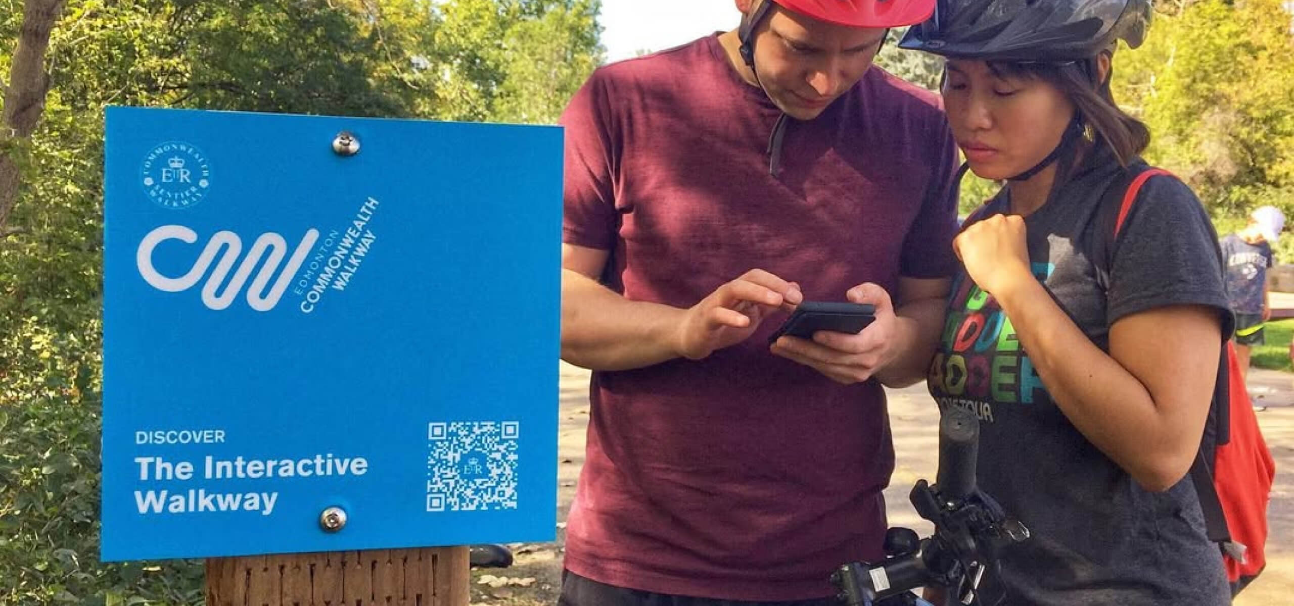
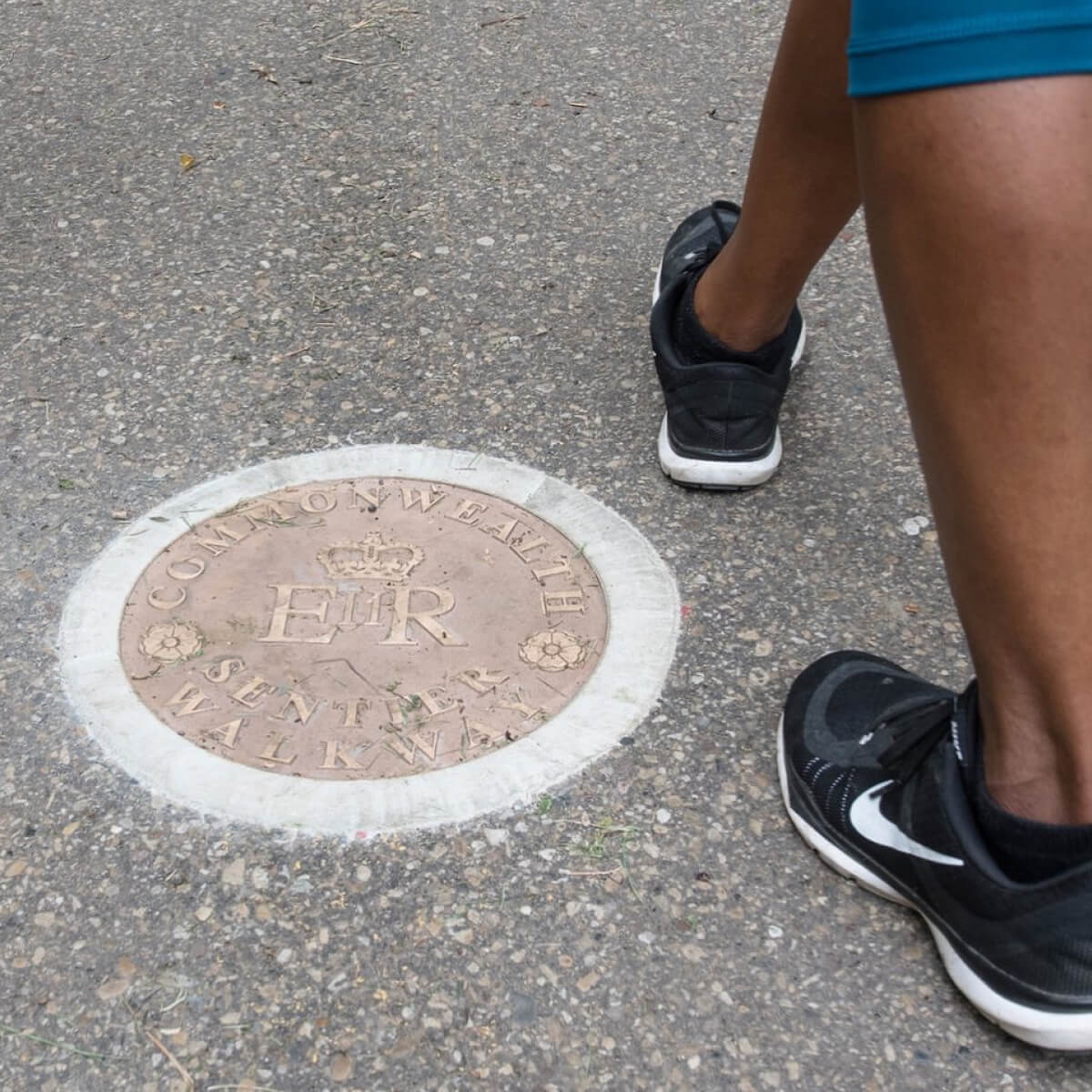
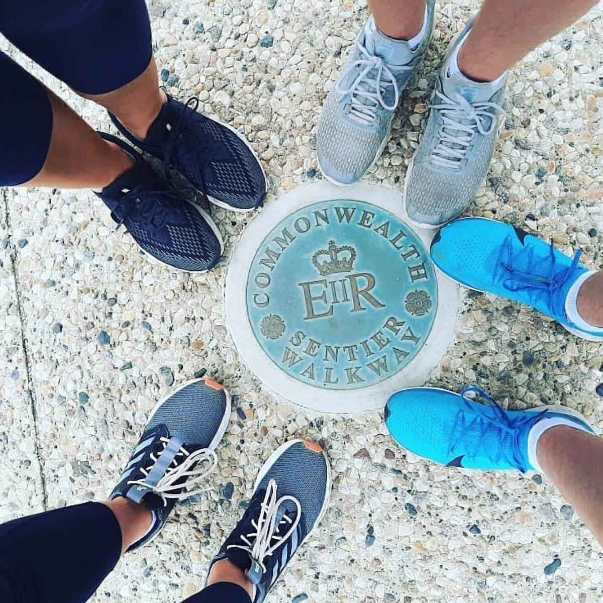
The Commonwealth Walkway Trust planned to mark the 10-kilometre route with signage and physical medallions embedded in the ground. Our job was to figure out the best way to bridge those physical touchpoints with stories about the places around them.
But unlike a typical guided tour, the experience couldn't rely on a fixed starting point or direction. The app needed to feel like a natural companion whether someone planned their visit or simply stumbled upon our signage on their walk.
Research
Competitive analysis
We started by looking at how other tourism apps balanced navigation, content, and the real world. The most immersive experiences used geofencing to make content appear when users physically arrived somewhere, rather than when they tapped a button.
Walking the route
With the coordinates for where each medallion and sign would be installed, we took the opportunity to walk the route ourselves and better understand how and when content should surface — noting likely entry points and the walking distance between each medallion.

Ideation
Story structure
Working closely with the Commonwealth Walkway Trust, we established guidelines each story would follow. Beyond keeping the length and format appropriate for reading on a phone outdoors, we needed each story to use repeatable content blocks that could be easily managed through the content management system.
User flows
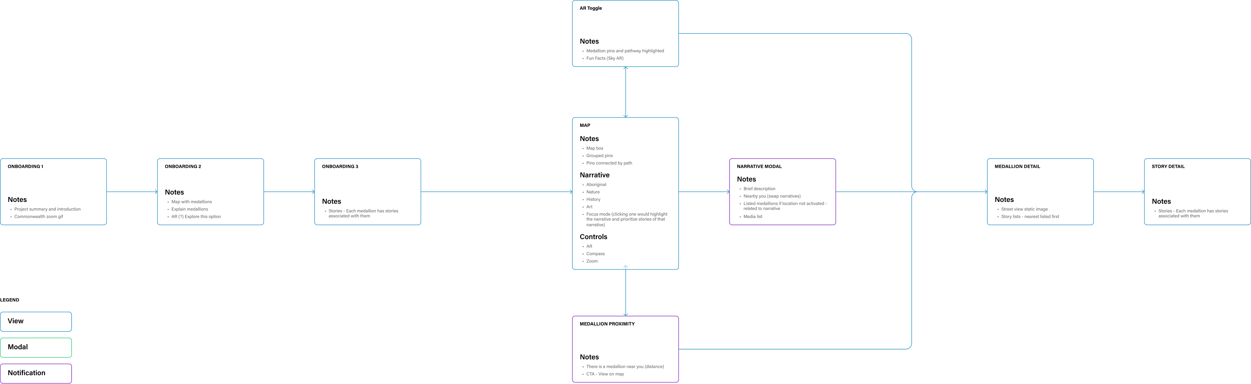
We then mapped the experience from app download to discovering and reading a first story — helping us define how geofencing fit into the journey and identifying the key screens we needed to prototype and design.
Design
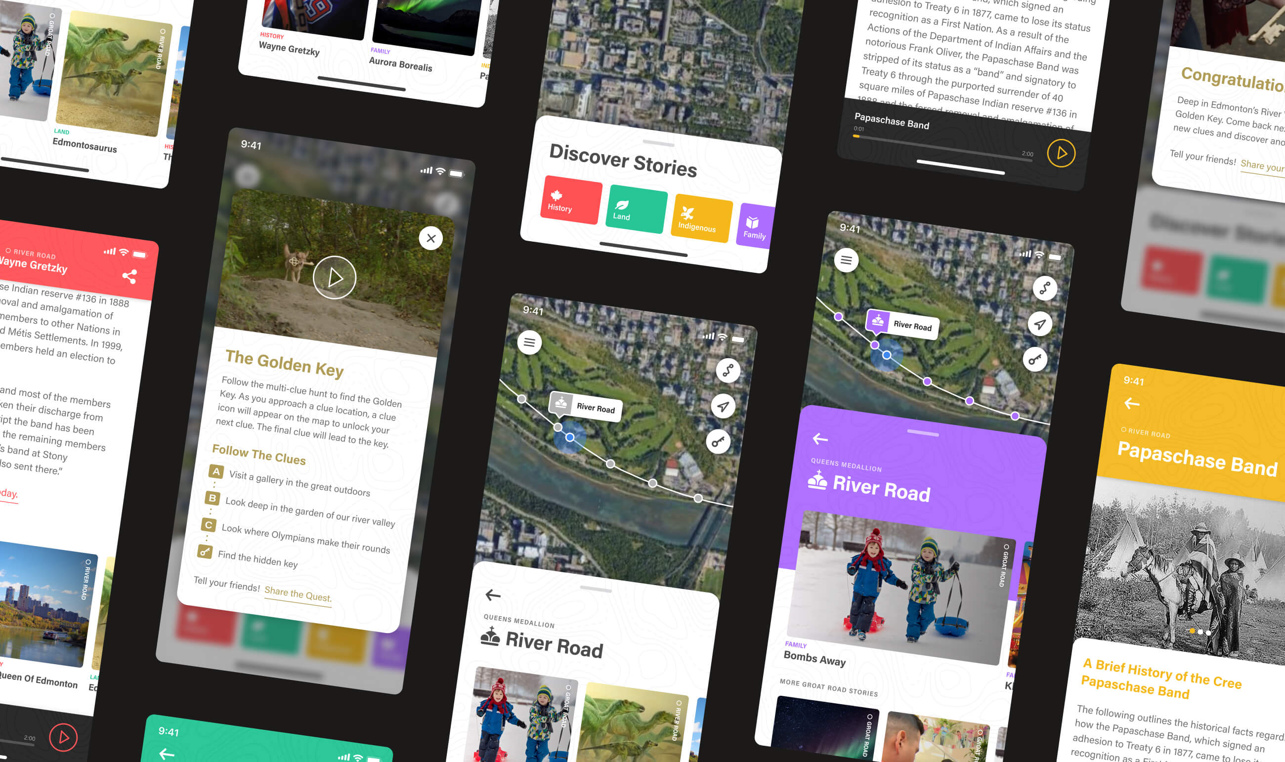
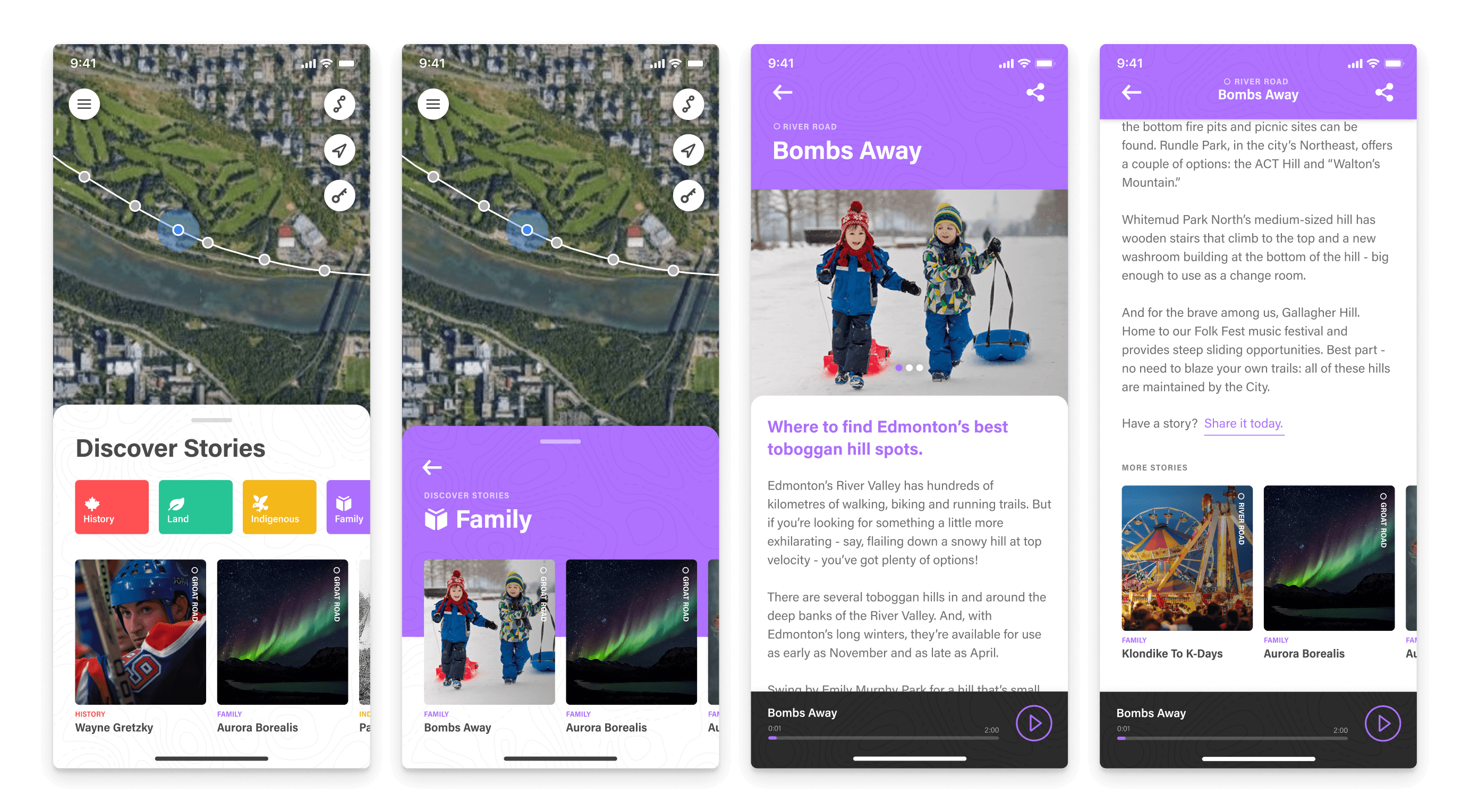
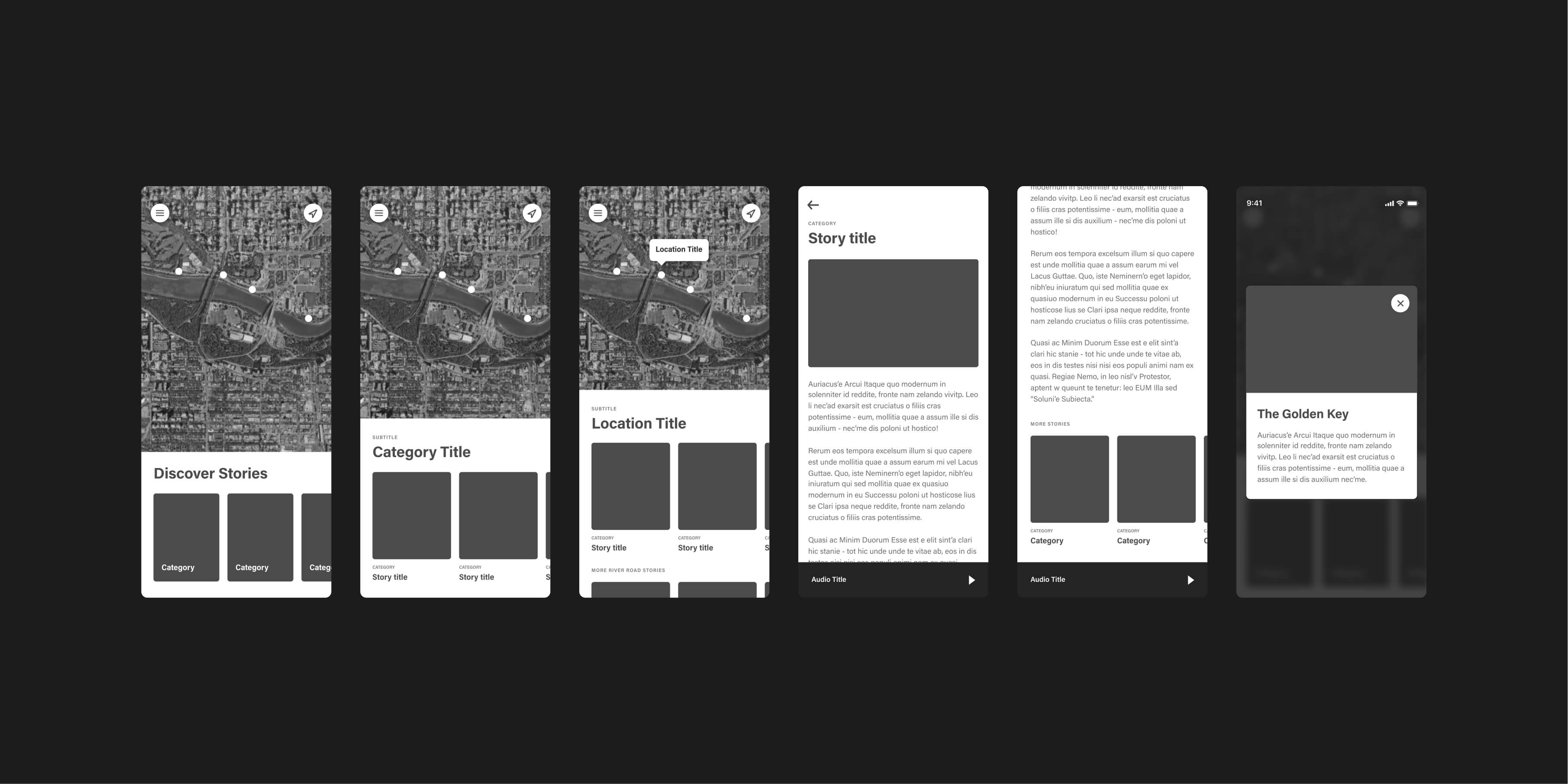
Our design phase started with wireframing the key screens identified in our user flows, exploring the most intuitive way for content to interact with the map. We needed to define how the map would respond to user movement and how geofencing would change what content users saw along the route.
Introducing the experience
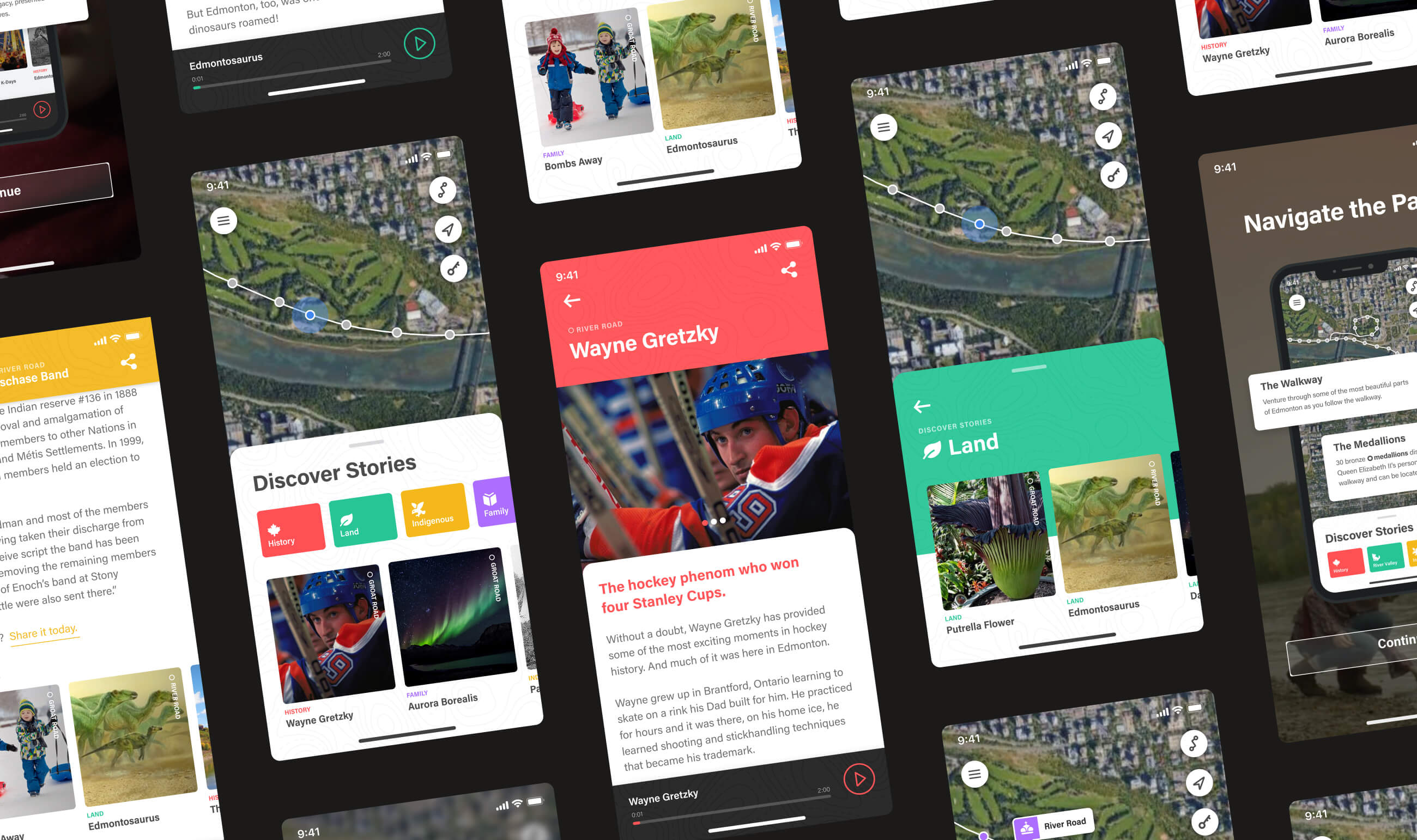
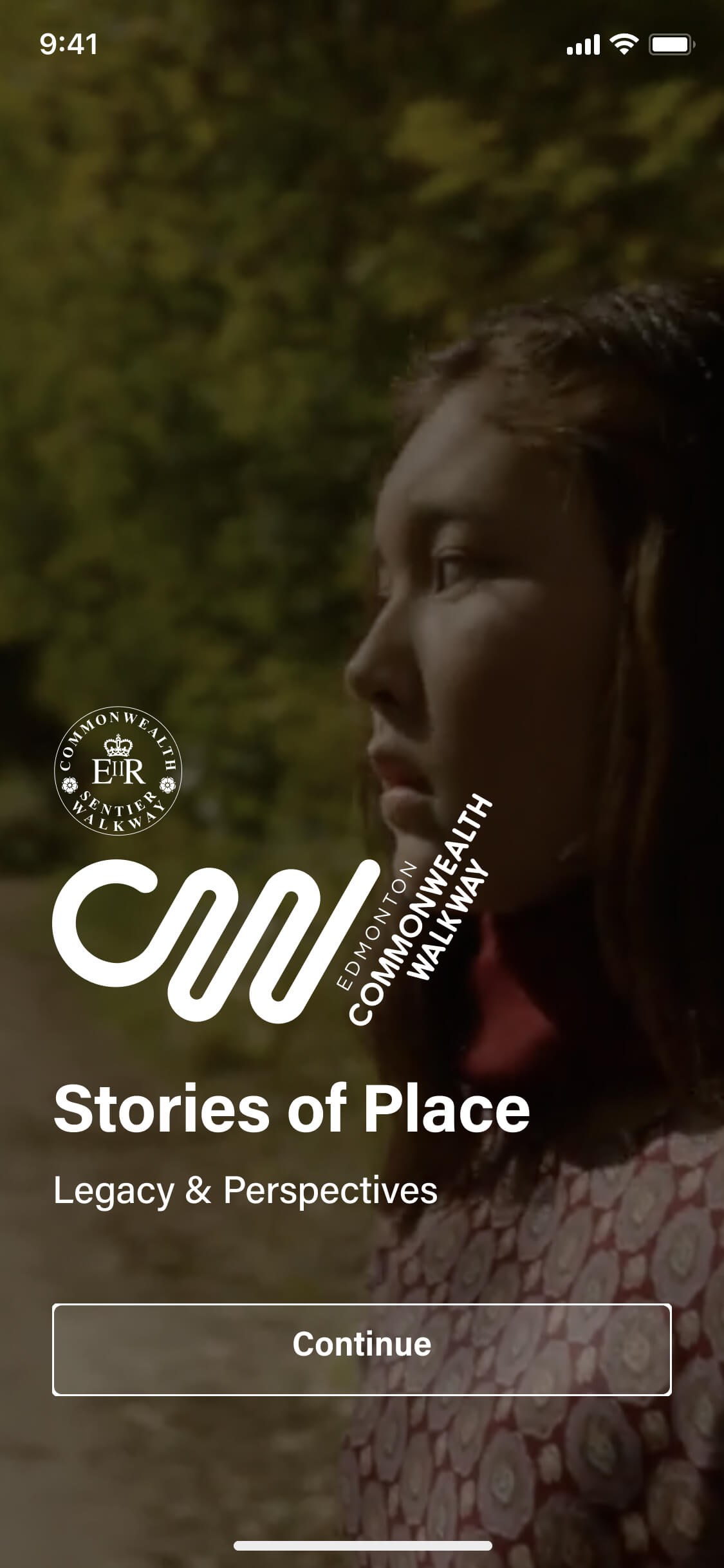
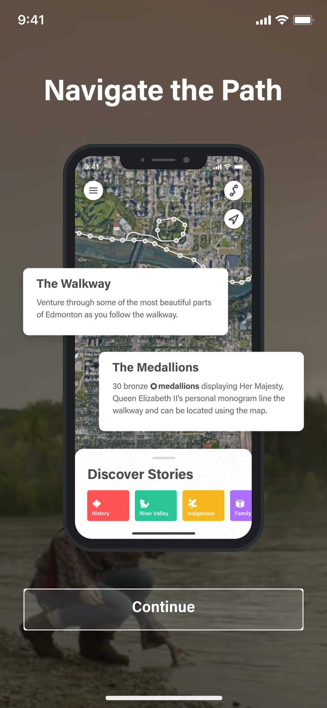
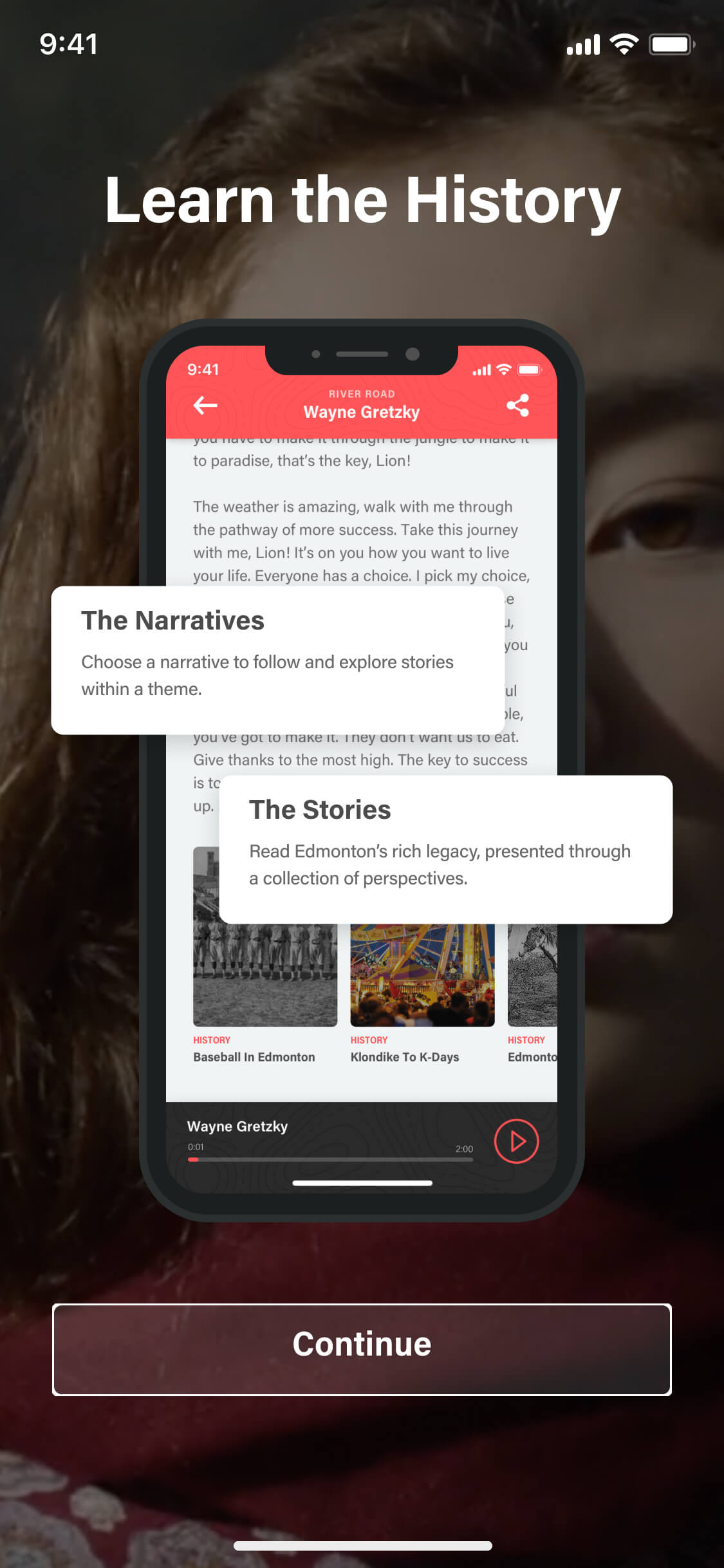
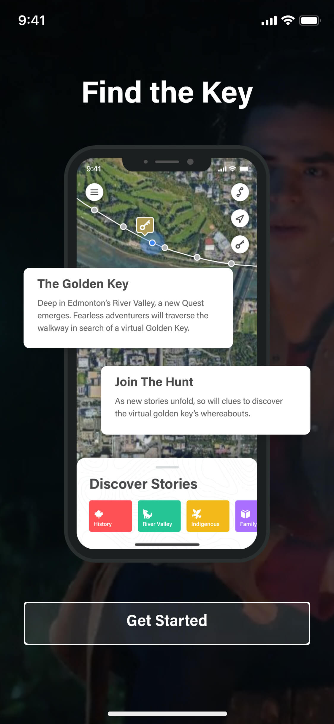
Particularly for users who discovered the experience through signage in the river valley, we needed to quickly earn their attention, briefly explain the concept, and get them into the app before they lost interest. Our solution was a concise onboarding flow that communicated the core idea — follow the route and discover the stories.
Navigation and geofencing
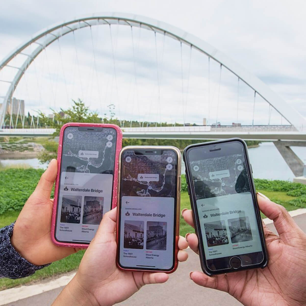
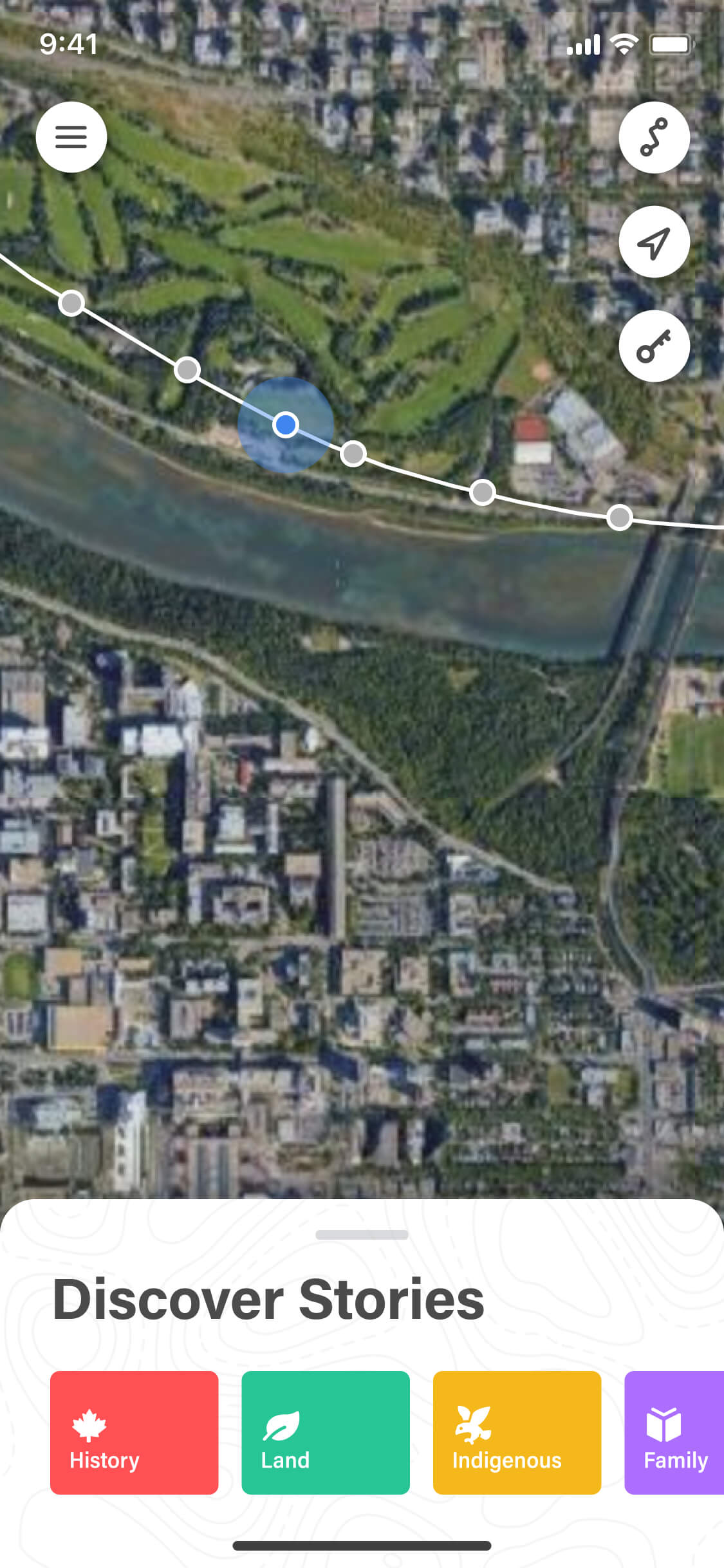
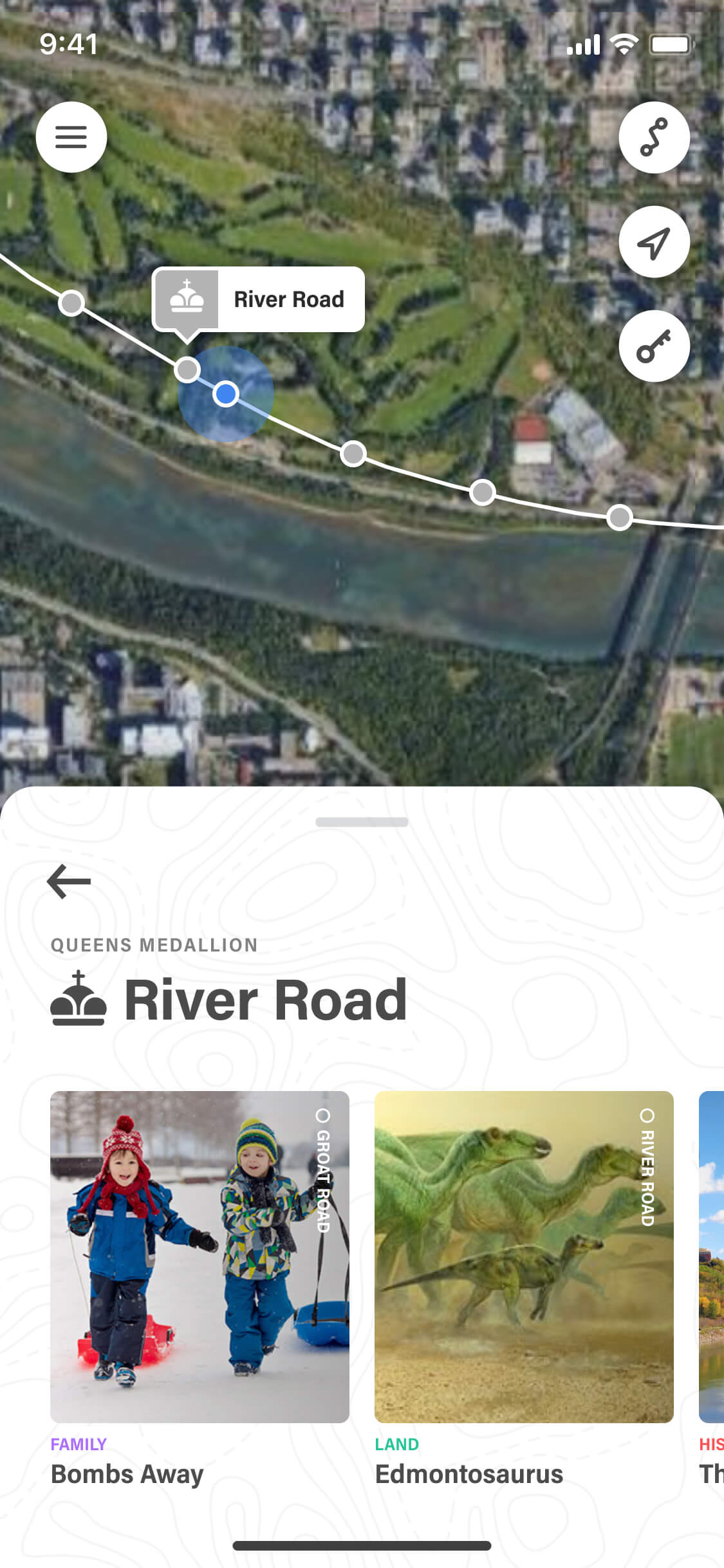
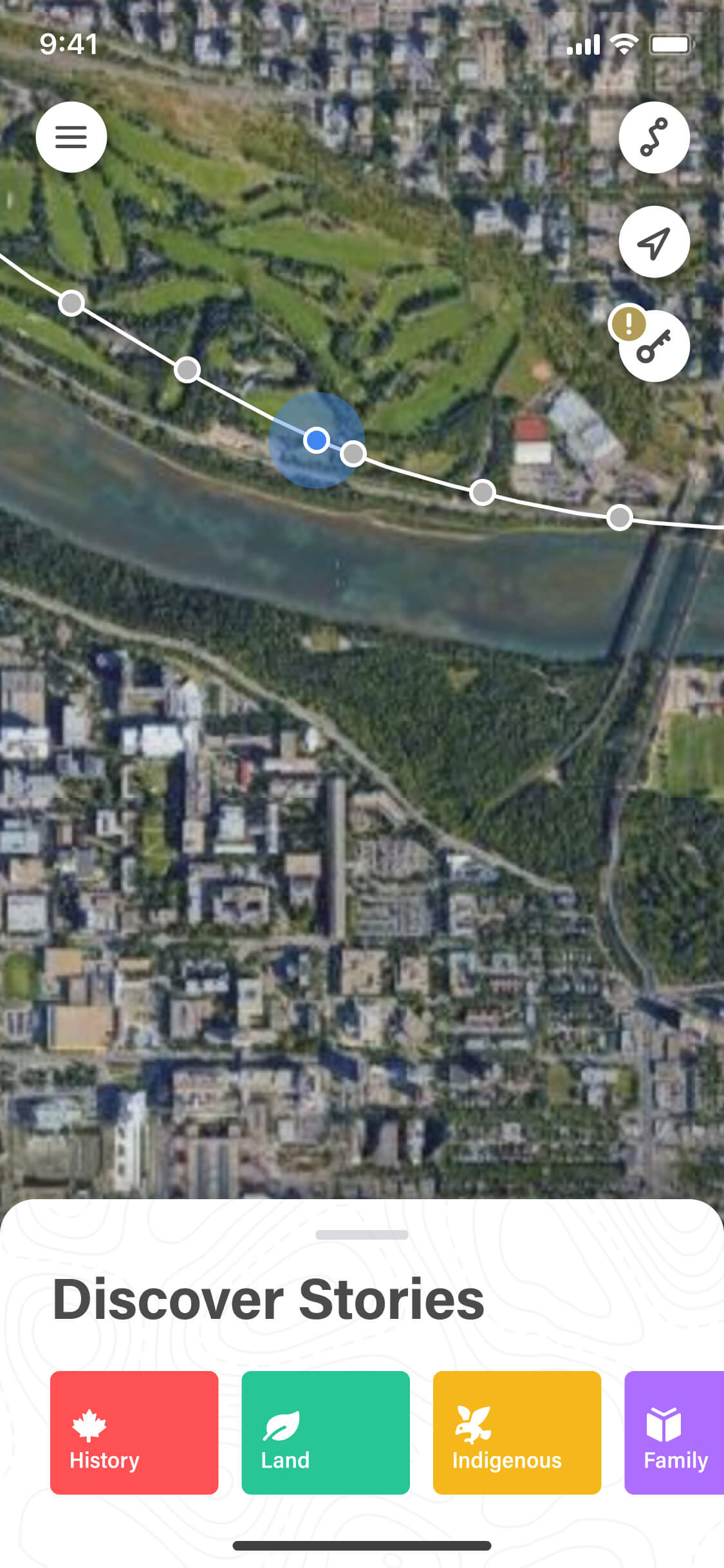
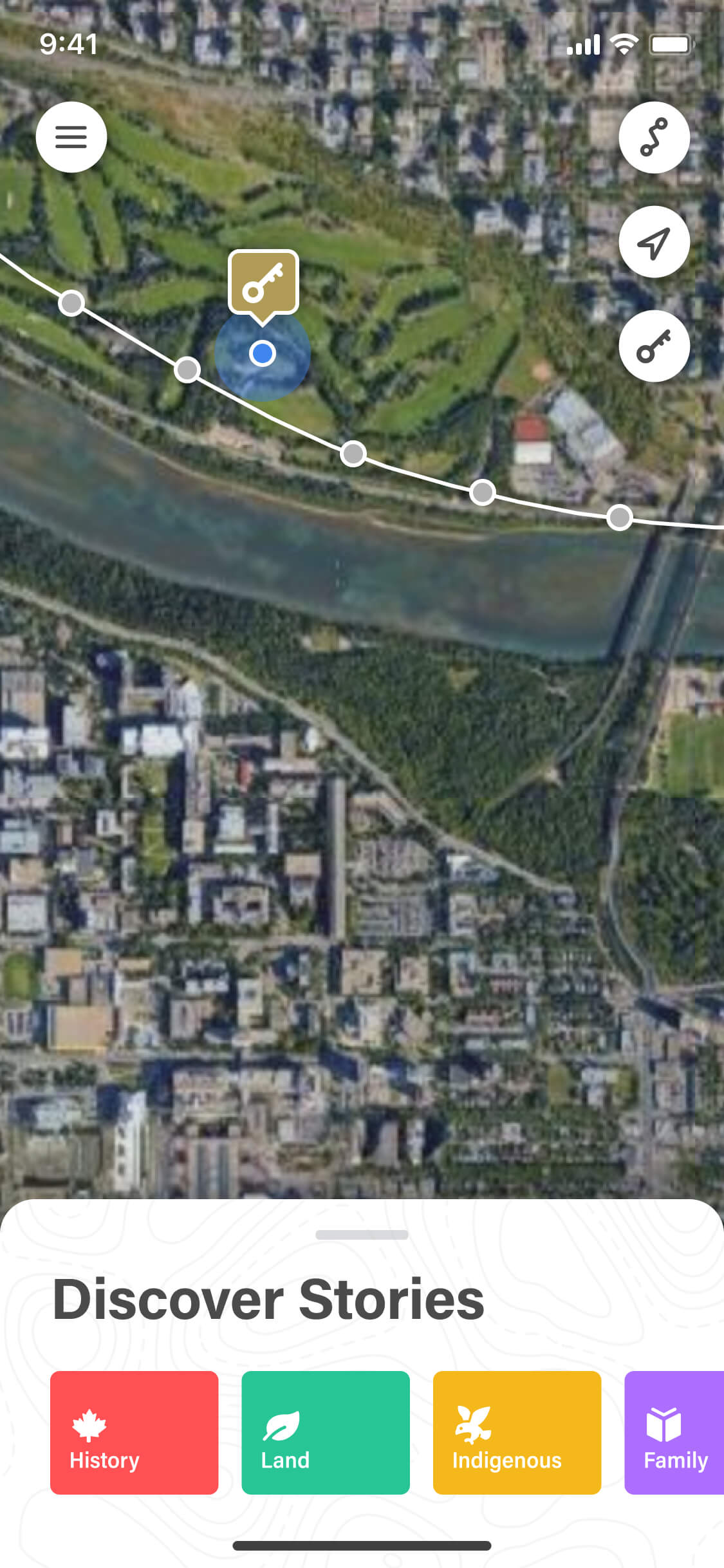
The map was built with Google's API, using the medallion coordinates to highlight the route. As users moved along the path, geofencing automatically triggered the relevant story content — no tapping required.
By responding to where users were, we made discovery feel natural. But for those who wanted to plan ahead or couldn't visit in person, we still made each medallion tappable so they could explore the stories manually.
Storylines
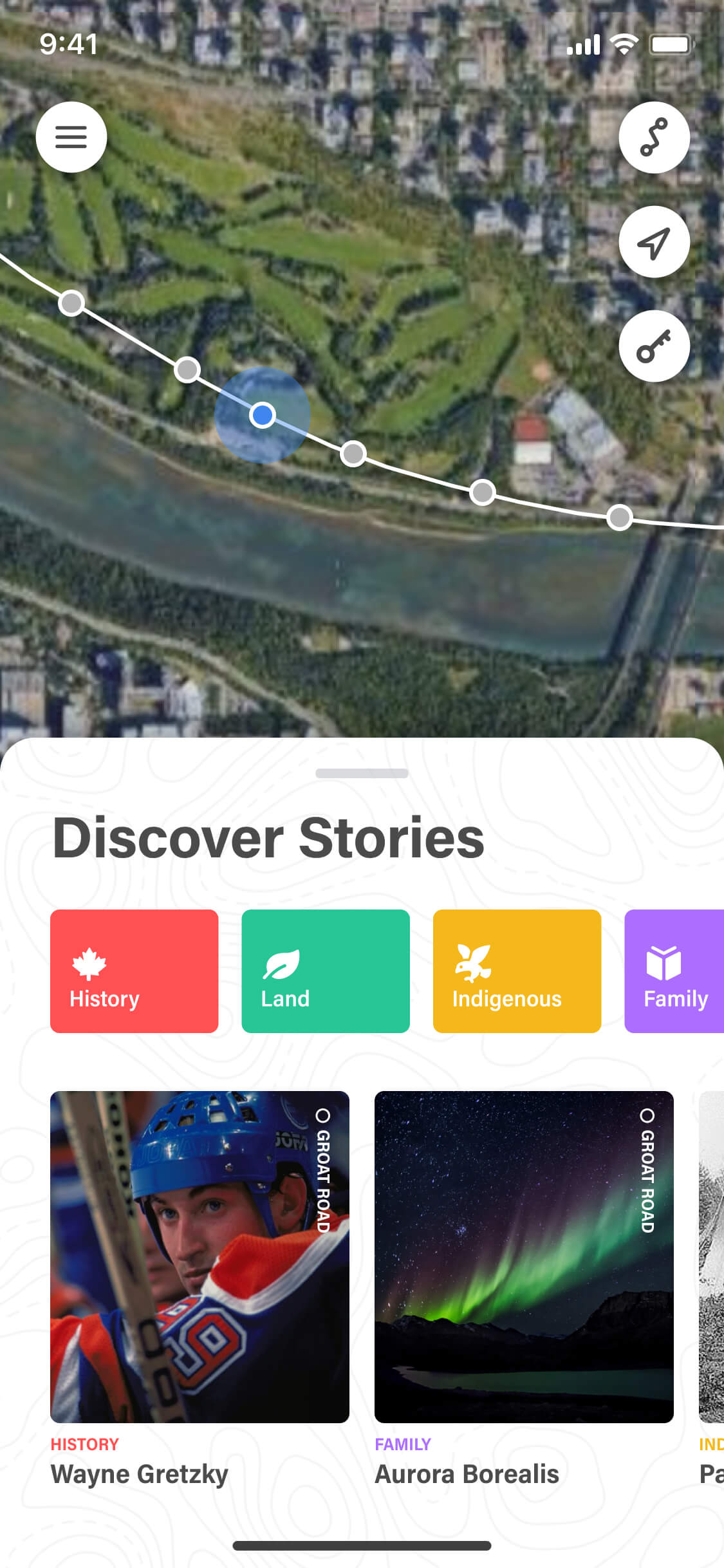
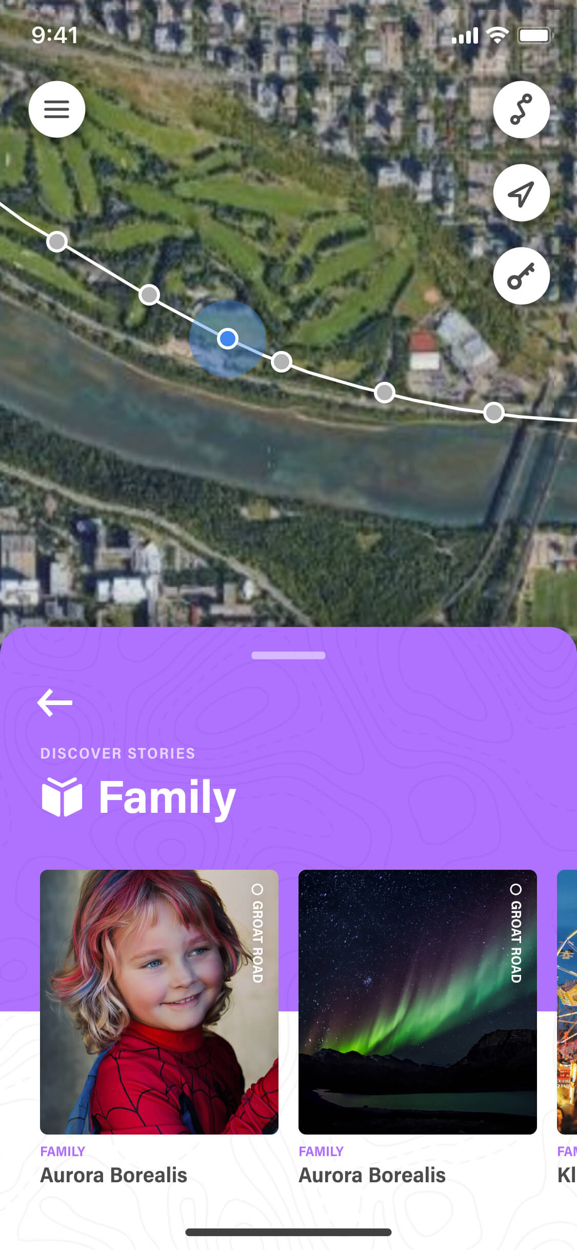
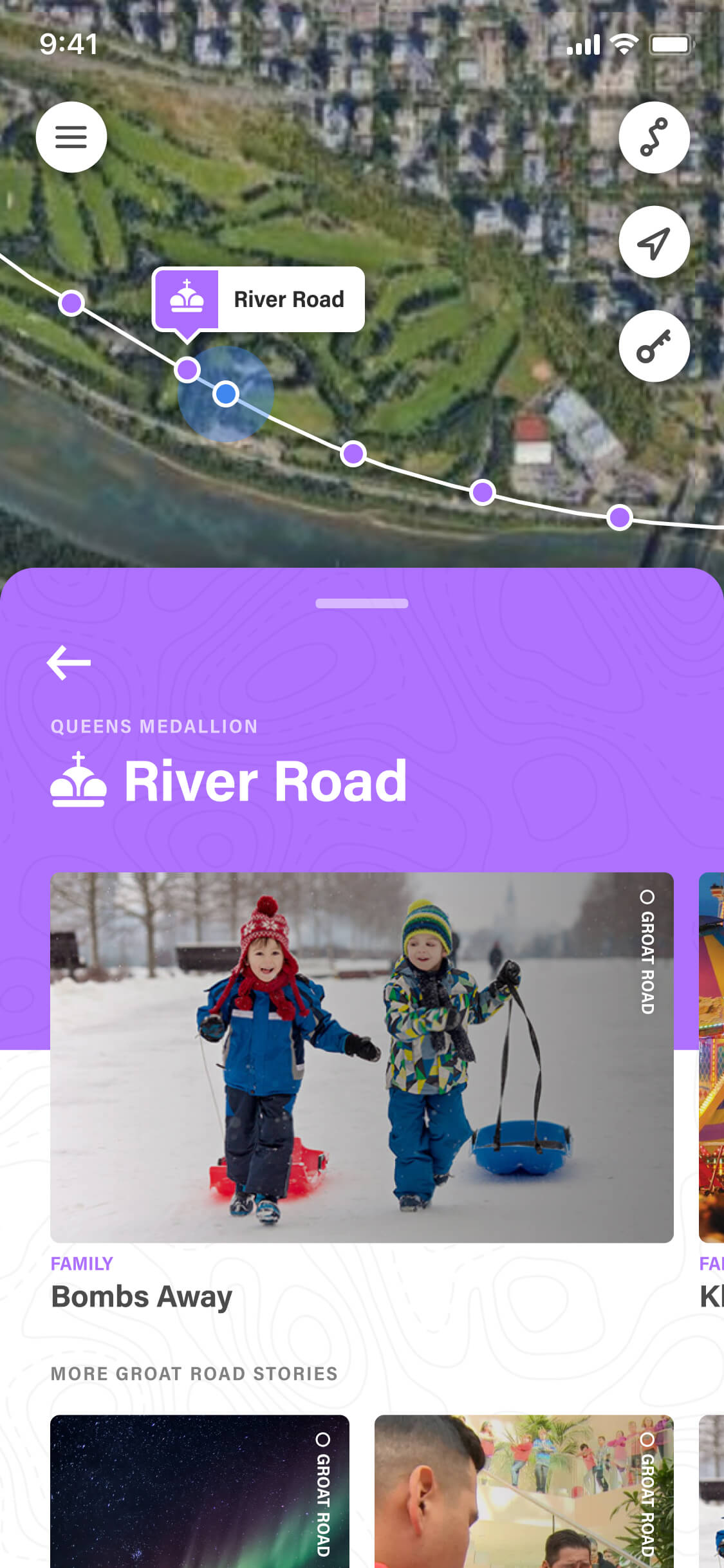
We also gave users the option to explore stories by storyline — thematic groupings that made it easier to find content based on their interests while also bringing more structure and organisation to the experience.
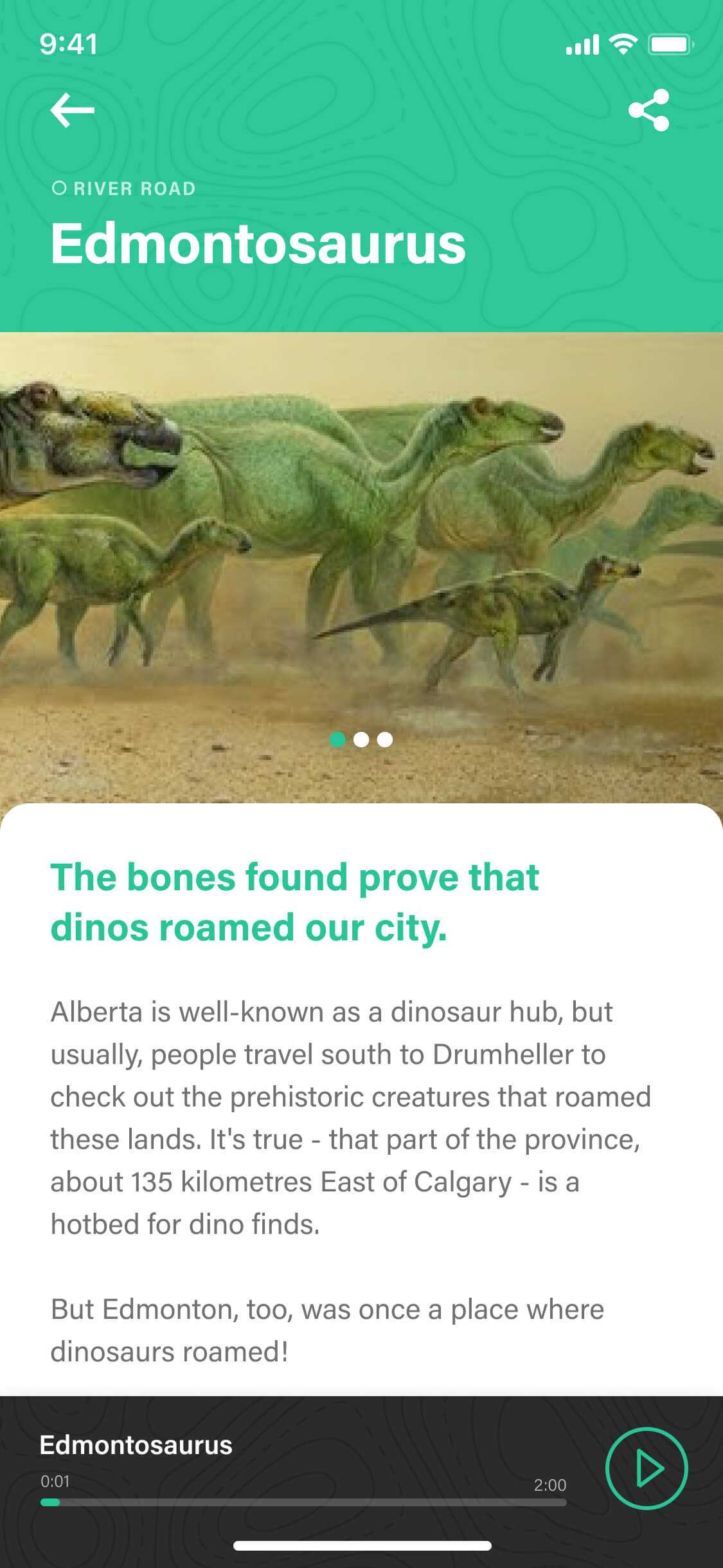
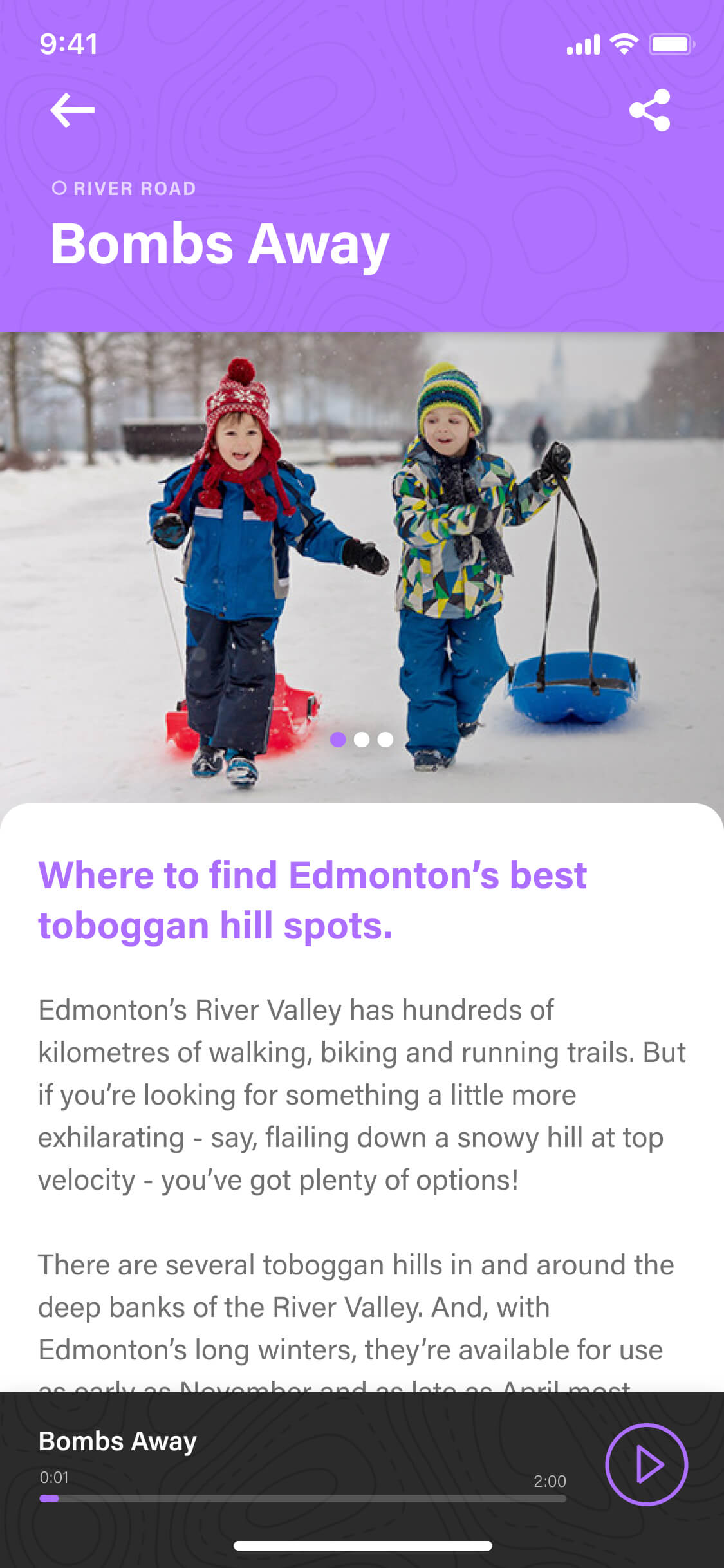
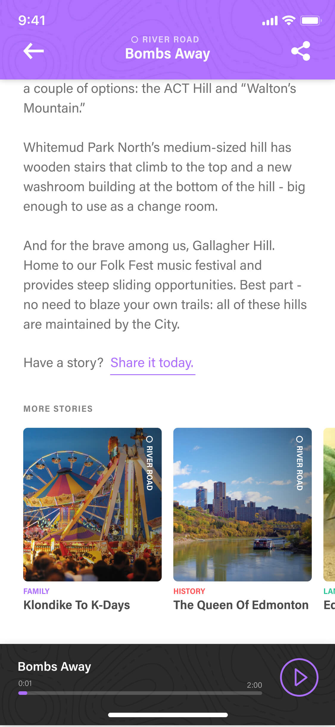
Each story followed a consistent article structure built from reusable content blocks, giving the Commonwealth Walkway Trust the flexibility to add text, images, video, and audio directly through the content management system.
Golden key
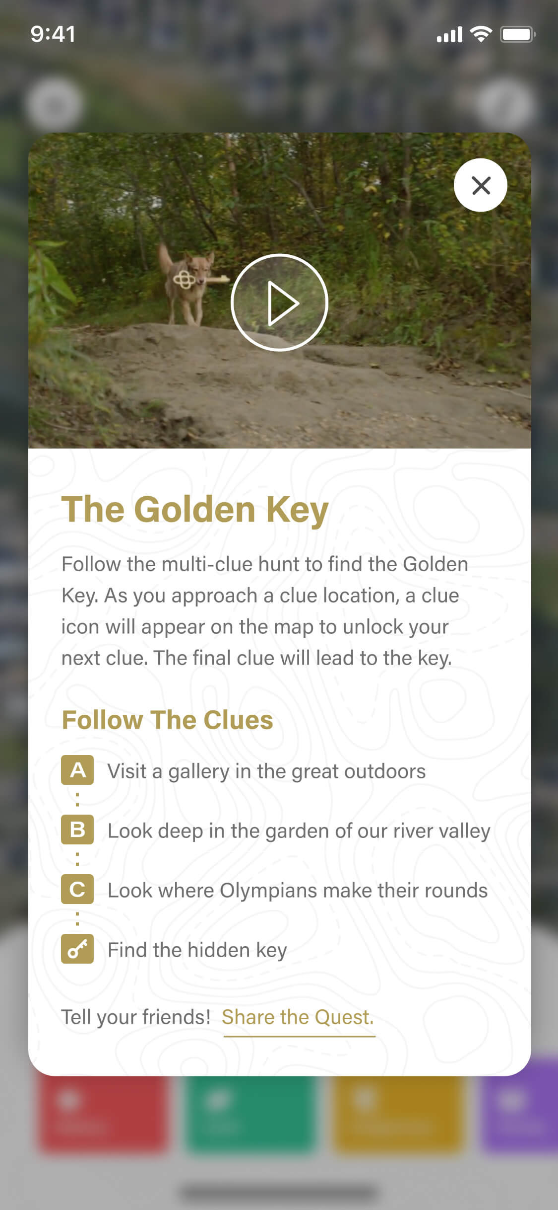
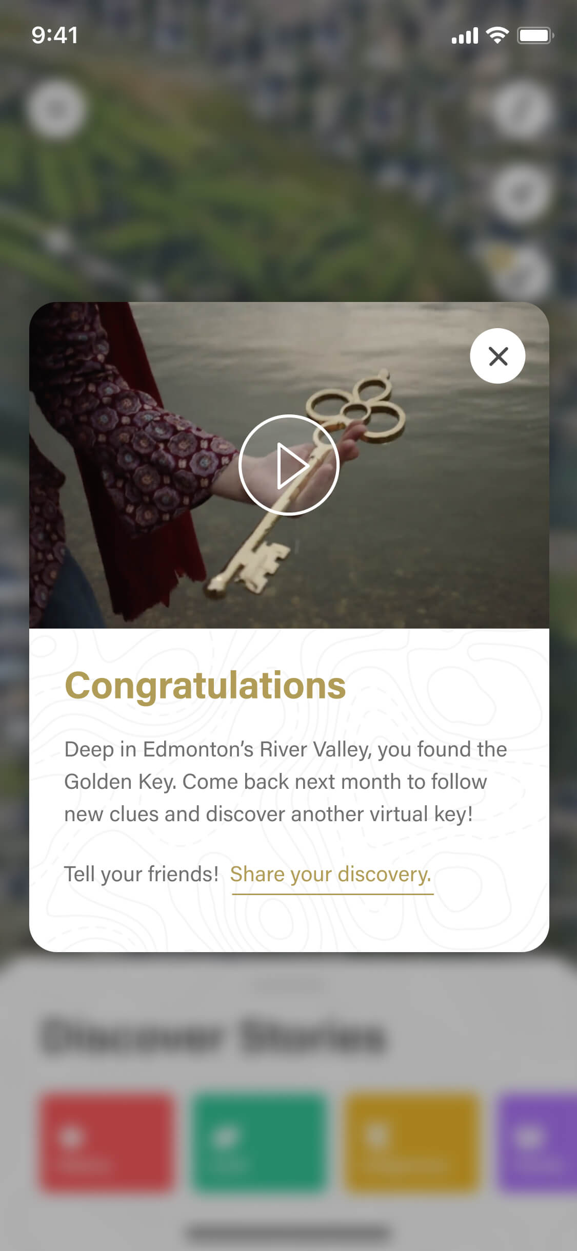
The golden key feature was designed like a scavenger hunt to give users a fun weekend activity. Within the app, users could follow a series of clues that eventually led them to the golden key. Solving them required moving through the river valley and paying attention to the physical environment in a way the standard experience didn't demand.
Using geofencing, we were able to reveal each clue and the key as users approached the relevant coordinate. Through the CMS, we gave the client the ability to update the clues and coordinates each week to keep users coming back.
Impact
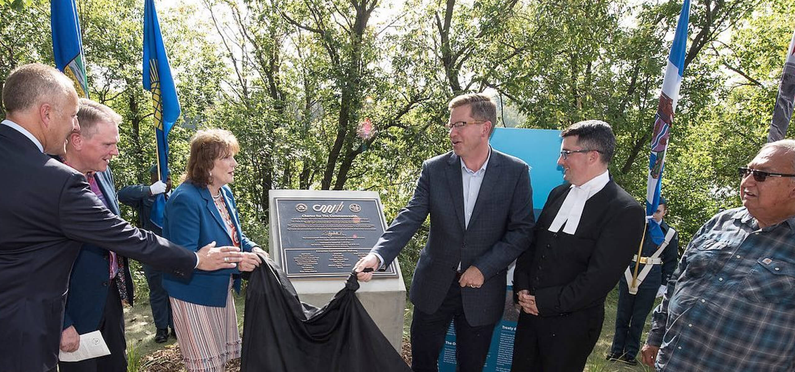
The app launched alongside the physical walkway unveiling and was covered by Global News — a reflection of the community interest the project had generated and the novelty of what we had built. The Golden Key in particular generated genuine online enthusiasm online.